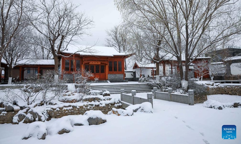
Heavy rain, snow return to northern China, with temperatures dropping below historical records

A new round of large-scale rain and snow weather should hit the country starting from Tuesday night, and it is expected that from Wednesday to Friday, the central and eastern regions of China will experience another round of large-scale rain and snow, the meteorological departments warned on Tuesday.
In the past two days, northern China, the Huang-Huai region and other areas of China have experienced the first rain and snow storms of the winter. During the day on Monday, this first round of rain and snow gradually weakened and ended.
However, from Tuesday night to Saturday, a new cold wave is predicted to affect most parts of China from west to east, making it the strongest cold air front so far this winter. Temperatures in most parts of China will drop by 8-12 C, and in some areas, the temperature drop may exceed 14 C, leading Beijing to issue a blue cold wave warning and a yellow blizzard warning on Tuesday.
The heavy snowfall areas in northern China and the Yellow-Huaihe region overlap with the areas that experienced heavy snowfall on December 10, and daily snowfall in these regions is expected to be extreme. Influenced by the cold wave, temperatures in the central and eastern regions will continue to decrease, and the lowest temperature in northern China, the Yellow-Huaihe region and other areas will approach or even break the historical record for this period, according to meteorological departments.
Meteorologists said that this cold wave will be fierce, with a large drop in temperatures and severe snowstorms, which may put significant pressure on transportation and lead to an increased risk of accidents. Moreover, special attention needs to be paid to safety hazards caused by snowstorms, Ma Jun, director of the Beijing-based Institute of Public and Environmental Affairs, told the Global Times on Tuesday.
To cope with the snowy weather, the Beijing municipal bureau of public security traffic management has established a snow road traffic emergency support command center. According to the department, they have initiated a high-level duty plan to strengthen the deployment of police forces and traffic maintenance guidance in key areas, roads, bridges, intersections, as well as areas with steep slopes and that are prone to icing. Also, they have actively coordinated with emergency response units for snow emergencies and promptly implemented ice removal and snow melting measures to minimize the impact of snowfall and icing on traffic.
In addition, the new round of rain and snow has entered a more complex phase. Freezing rain may occur in the central part of Northwest China's Shaanxi Province, southern part of North China's Shanxi Province, and central-northern part of Central China's Henan Province, so extra attention should be paid to the dangers brought by blizzards and freezing rain and snow.
It is also worth mentioning that the cold air will not influence the south of the Yangtze River and South China regions from Wednesday to the Thursday, and temperatures in these areas will still be high. For example, the highest temperature in cities like Nanchang and Fuzhou will reach 26 C. However, these areas will soon be hit by a strong "pressure" from the cold air. It is expected that around Saturday, the highest temperature in these areas will generally drop to around 5 C.
The meteorological departments reminded the public not to underestimate the power of this new cold wave. People in the above-mentioned areas should closely monitor local warning and forecast information, take measures to keep warm and pay attention to fire and electrical safety.
Experts said that overall the world is experiencing a warming trend, and the rising sea temperatures caused by El Nino have increased the moisture content in the air. As such, the precipitation and snowfall this round will be quite unique, with a higher water content, resulting in wetter and heavier snow.
In case of a sharp drop in temperatures during the cold wave, areas should prepare for freezing rain, especially in mountainous areas where temperatures may be lower than in the plain areas. This is highly likely to have a serious impact on infrastructure such as the electrical grid and agriculture, so local authorities need to make advance preparations, Ma warned.